When we are babies our world is confined by our crib. As we grow older our world
begins to expand, first to our playpen, then to our room, our house, our block, our town,
our city, our state, our country and finally to our earth and our universe. This is a
summary of round-the-world flights and of pilots and passengers and philatelic documentation
that they carried on their journeys round-the-world.
The role of what aviation has done to our perception of the world has reduced our earth
from continents once separated by miles to continents now separated by time. Aviation and
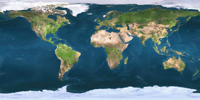
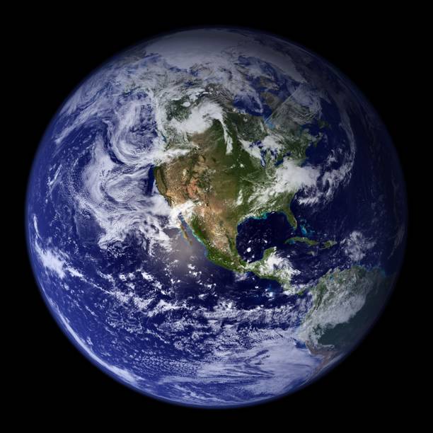
space travel are changing our ideas of our earth. We have been used to the pictorial images
of our earth often displayed in two dimensional maps with convenient Mercator distortions.
No continuous flat map can present a satisfactory facsimile of the surface of the entire earth
sphere.
We have viewed our three dimensional globe in the traditional Eastern and Western Hemispheres
with the idea that North America lies somewhere between Europe and Asia. Now it is time to re-look
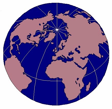
at our earth from another perspective. The earth can be divided into two hemispheres, the
Land Hemisphere and the Water Hemisphere. England is at the geographical center of the Land Hemisphere.
94% of all the people on earth live in the Land Hemisphere and 98% of all the industrial activity
occurs in this half of the world.
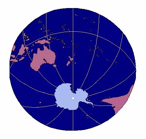
New Zealand is at the geographical center of the Water Hemisphere. 6% of the world's population
live in the Water Hemisphere and 2% of the world's industry are in this half of the world. It has
been calculated that if the land and the oceans were leveled, our earth would be completely covered
by water and the land would be two miles under the surface of the water.
The path of aviation's progress has changed our perception of earthly geography from
distance to time, from miles to minutes. The earth hasn't changed but we have. At this very moment,
we are creating our tomorrow. Remember, "the earth is a very small stage in a fast cosmic arena."