
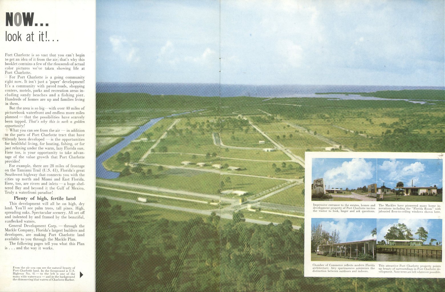
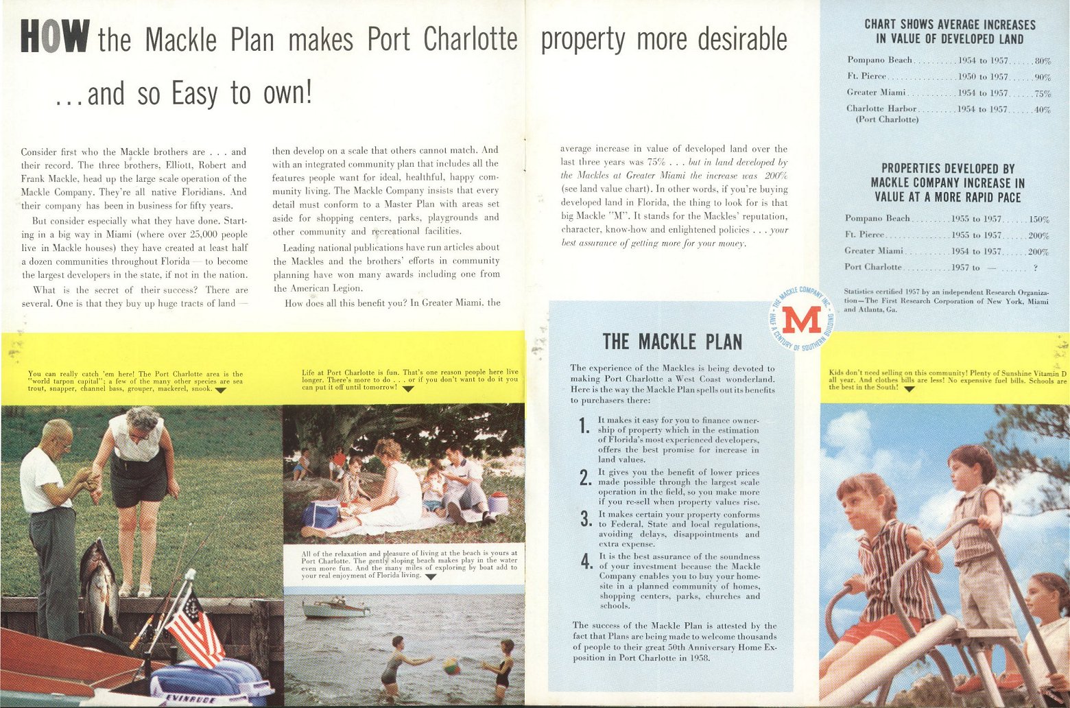
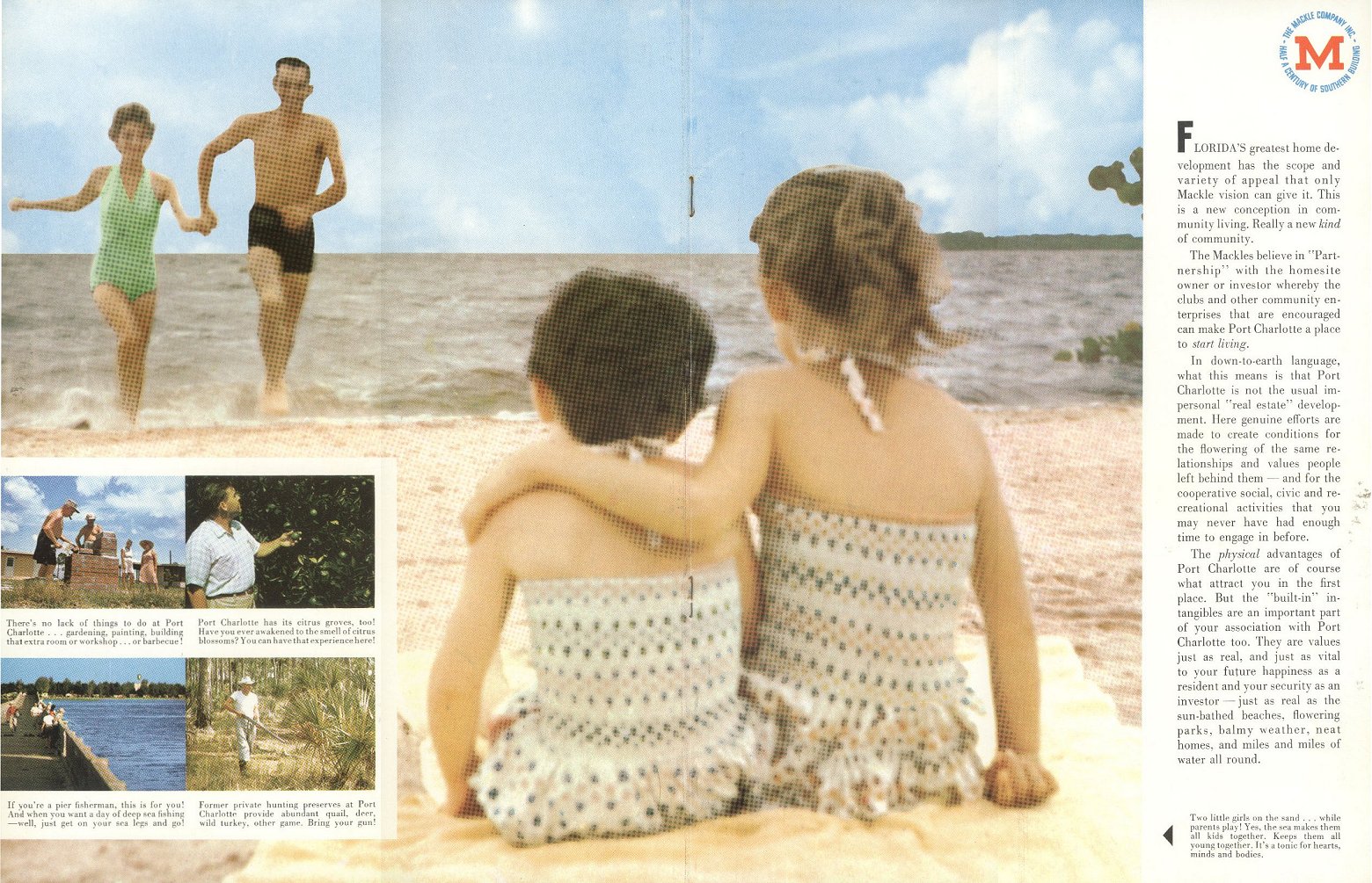
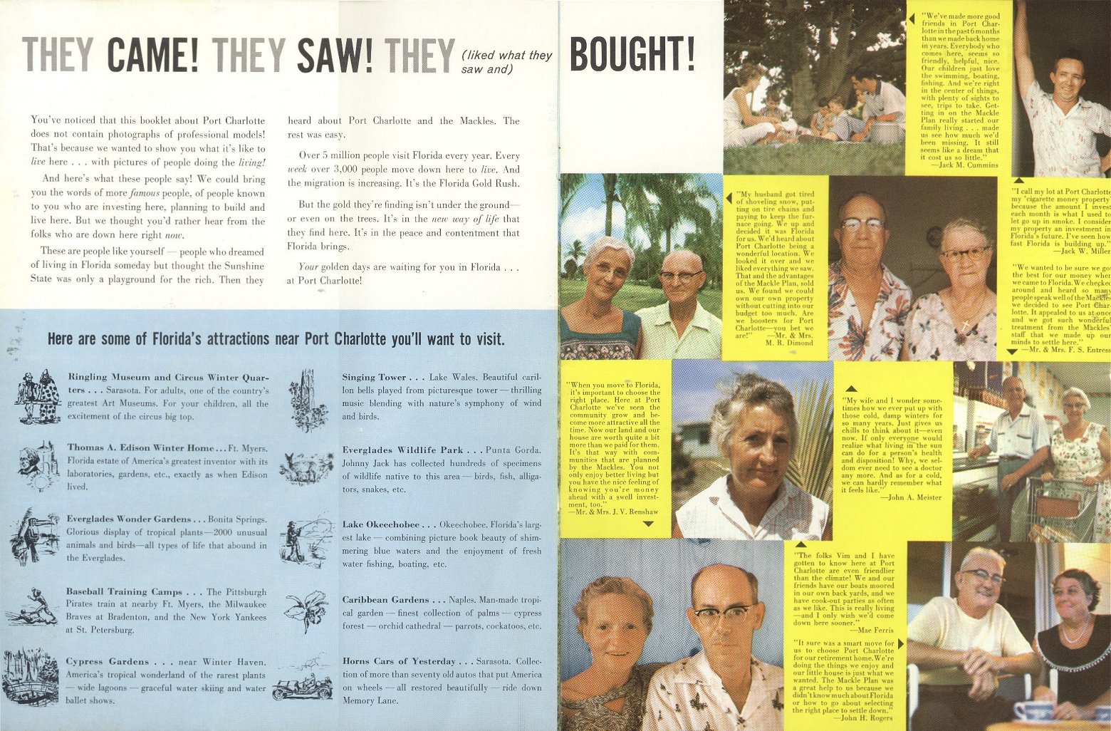
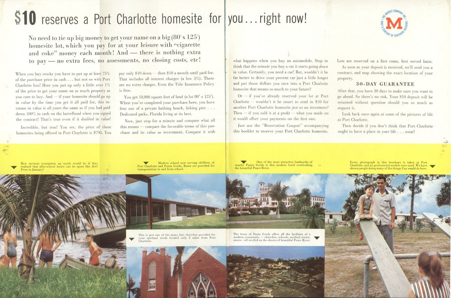
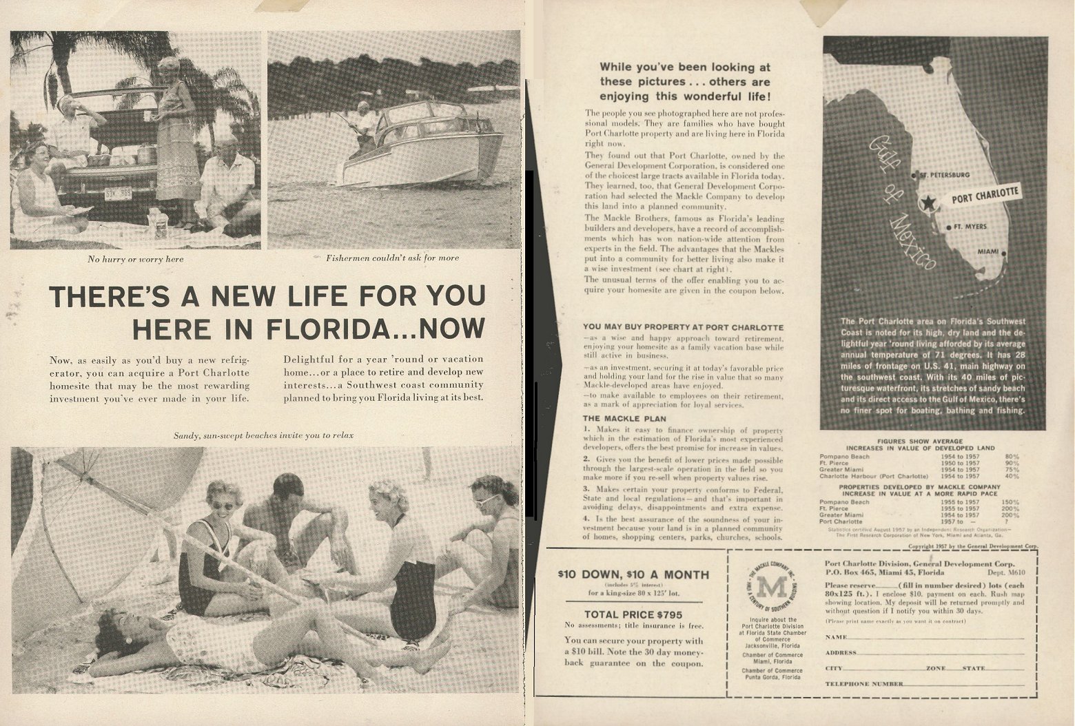
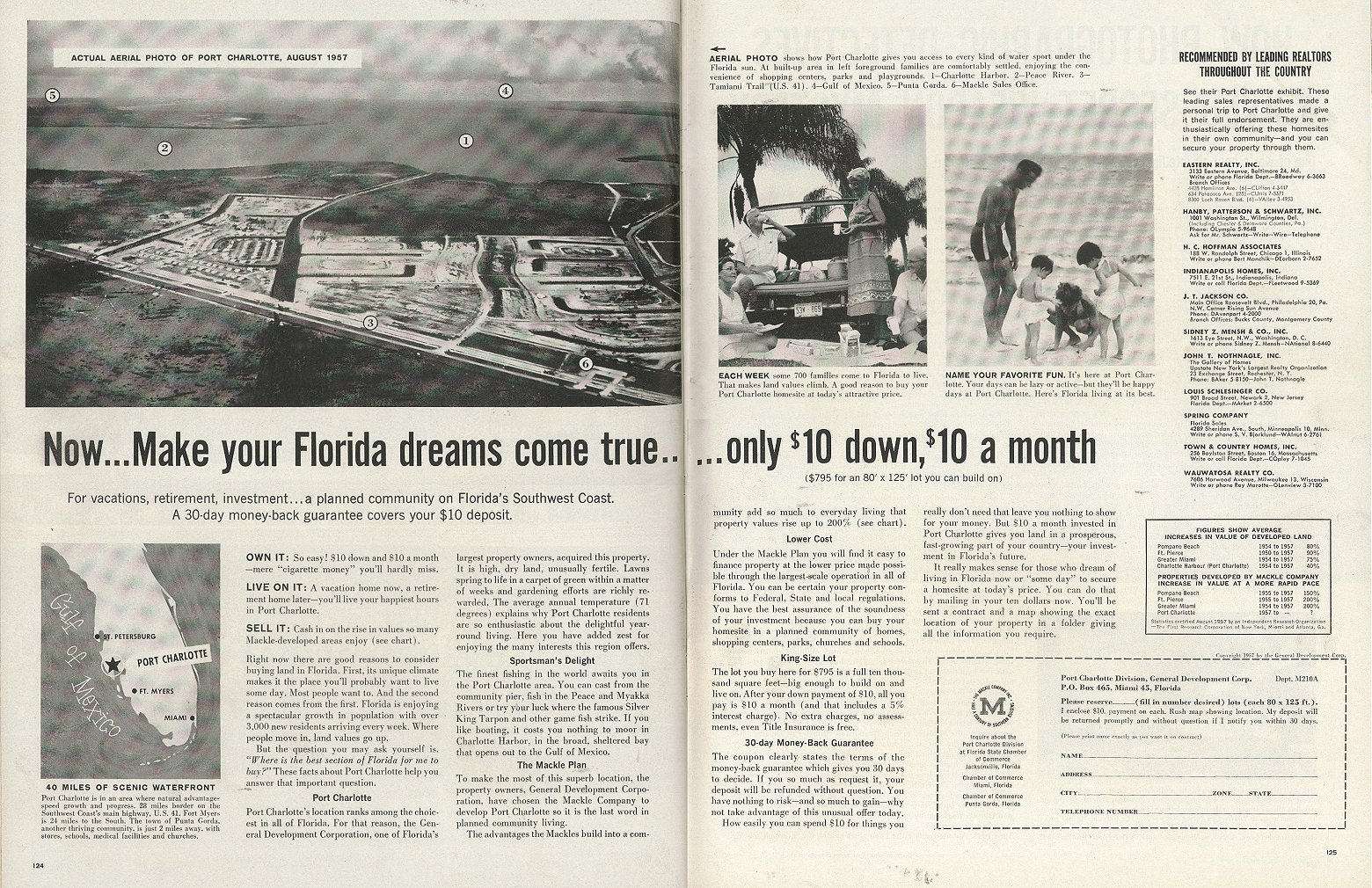
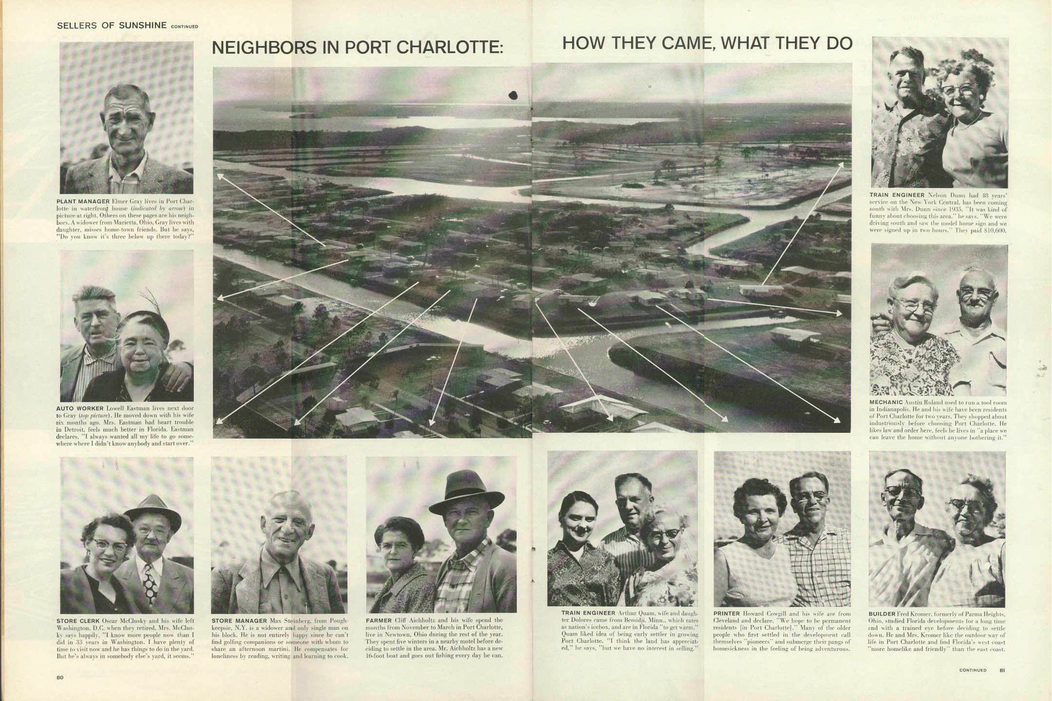
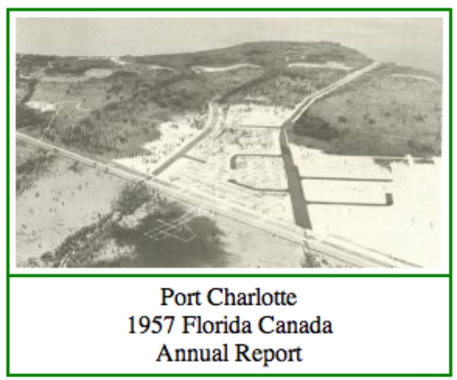
|
Grassy Point Sailing CommunityPort Charlotte, FLPage 2 of 2 .................. Revised 08/05/2018 |
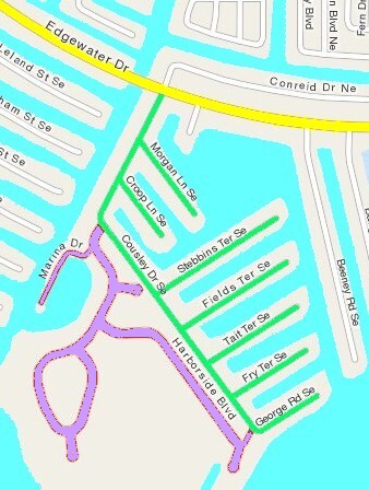

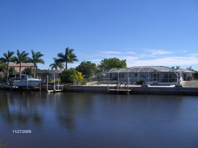
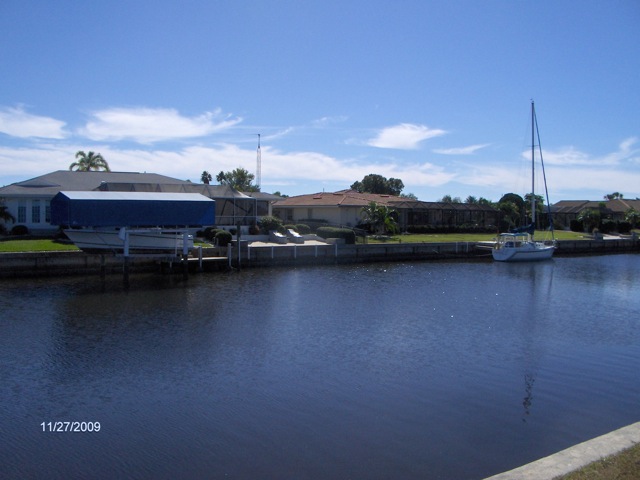
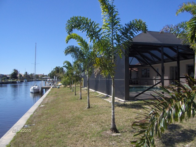
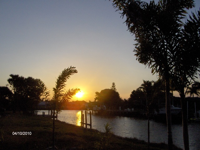
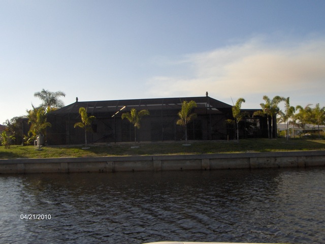
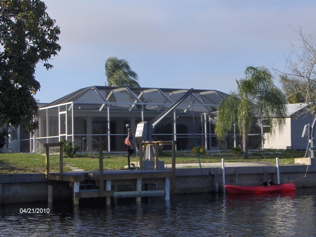
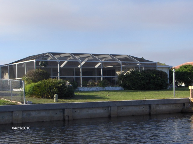
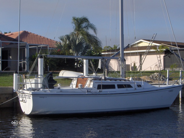
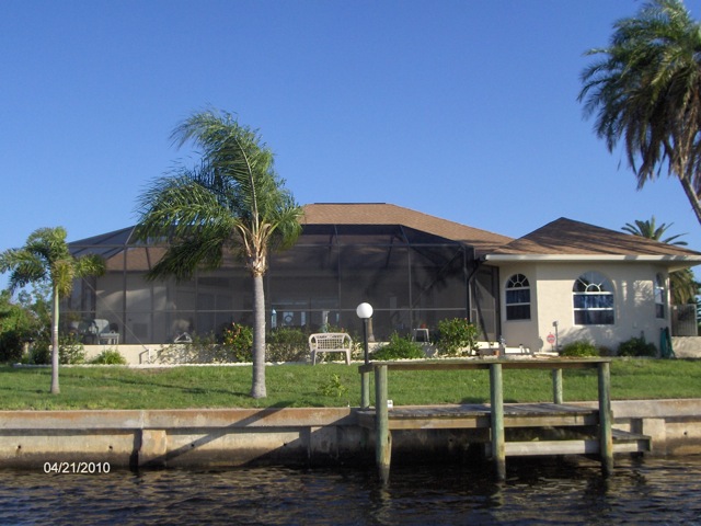
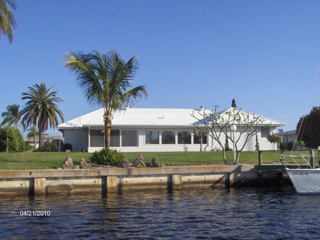
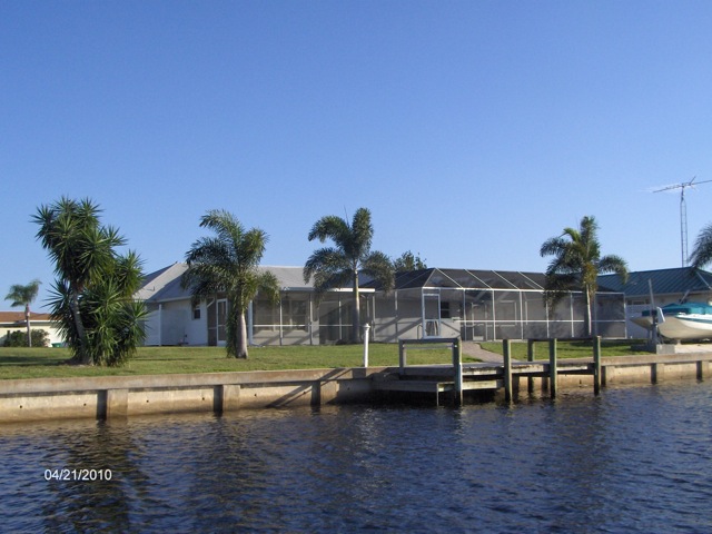
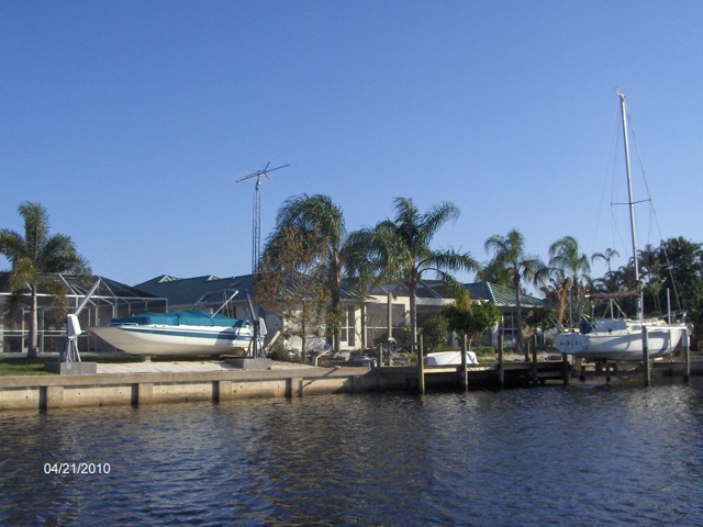
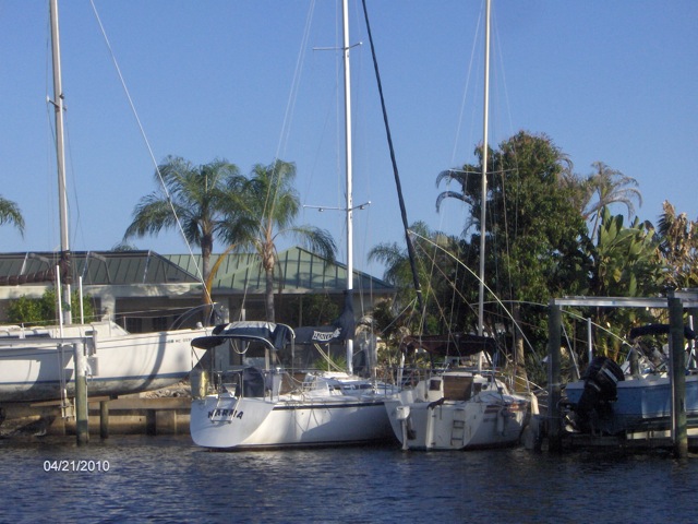
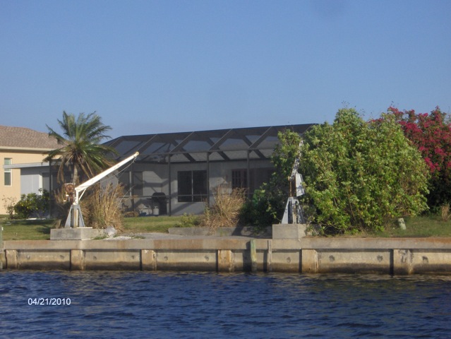
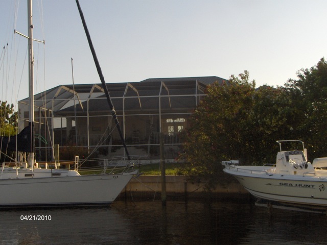
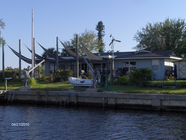
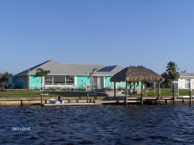
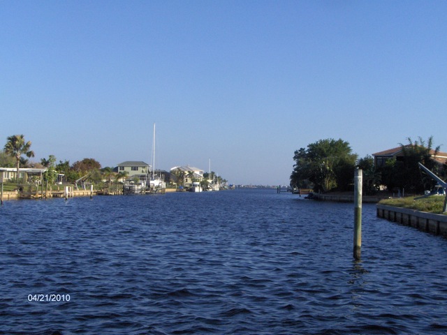
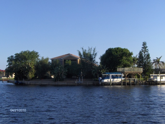
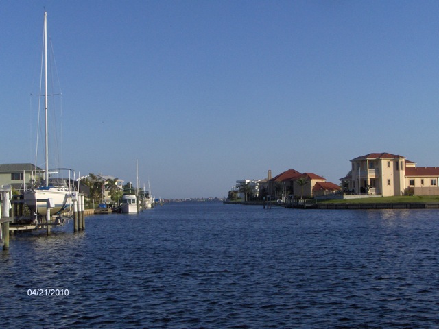
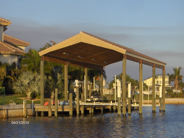
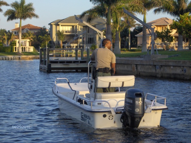
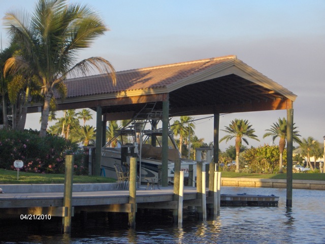
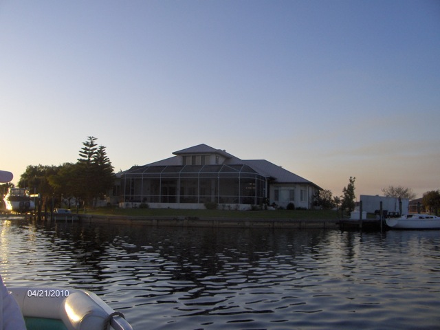
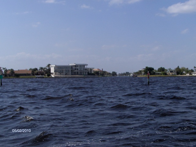
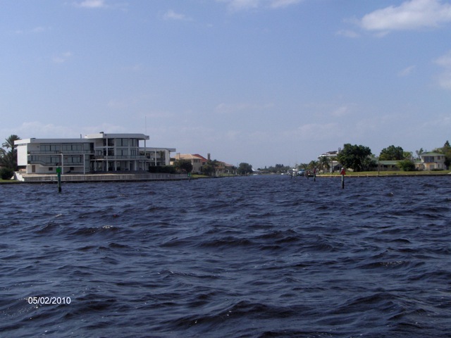
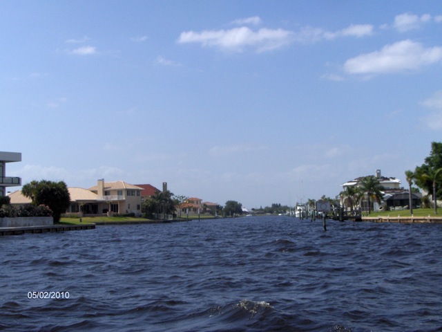
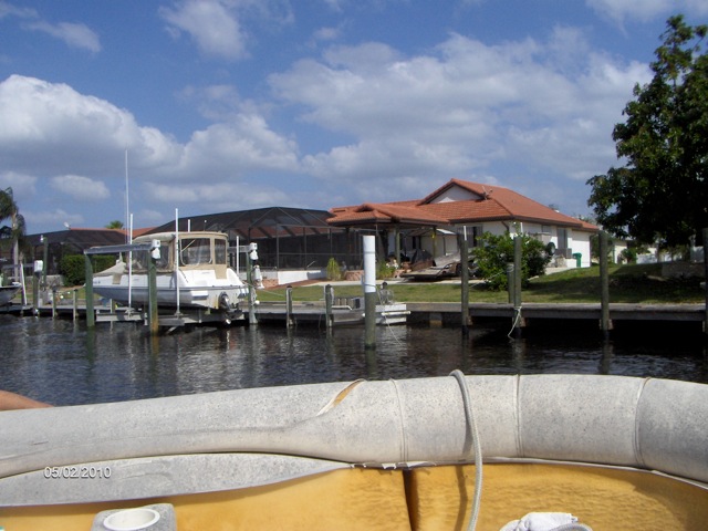
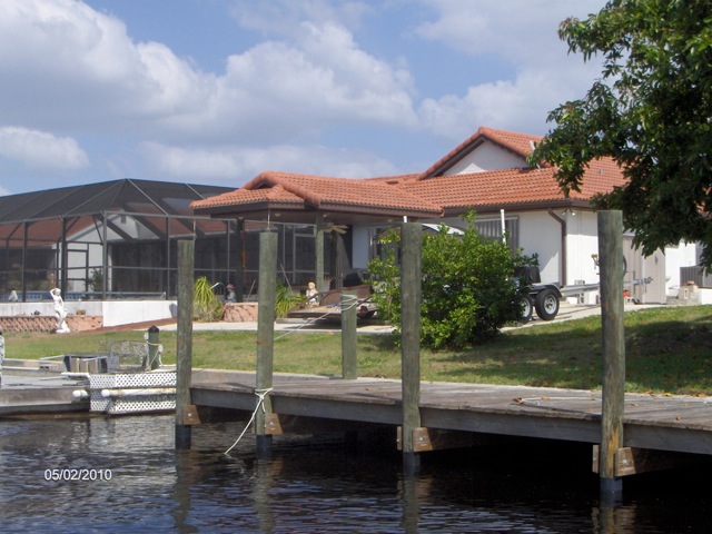
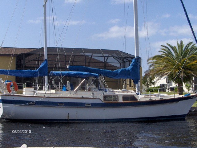
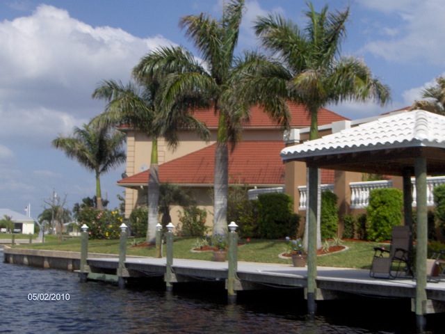
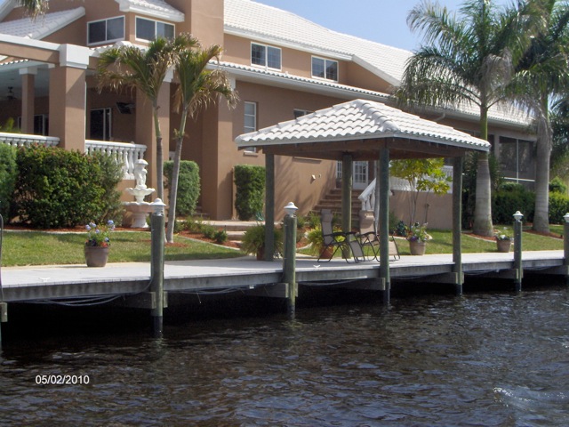
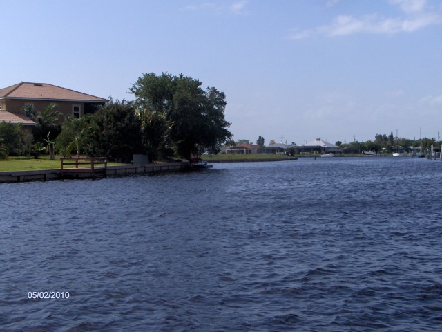
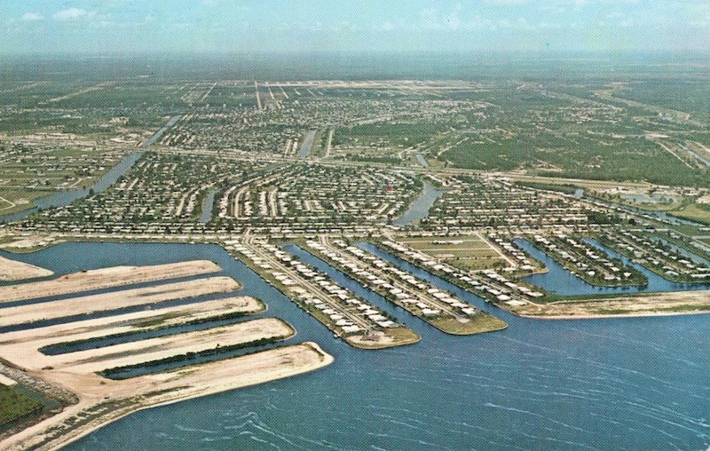
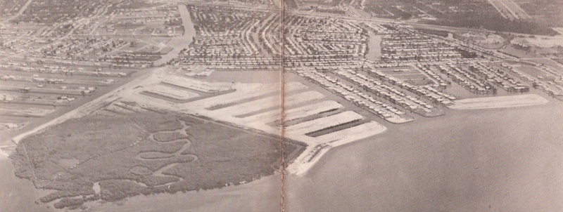
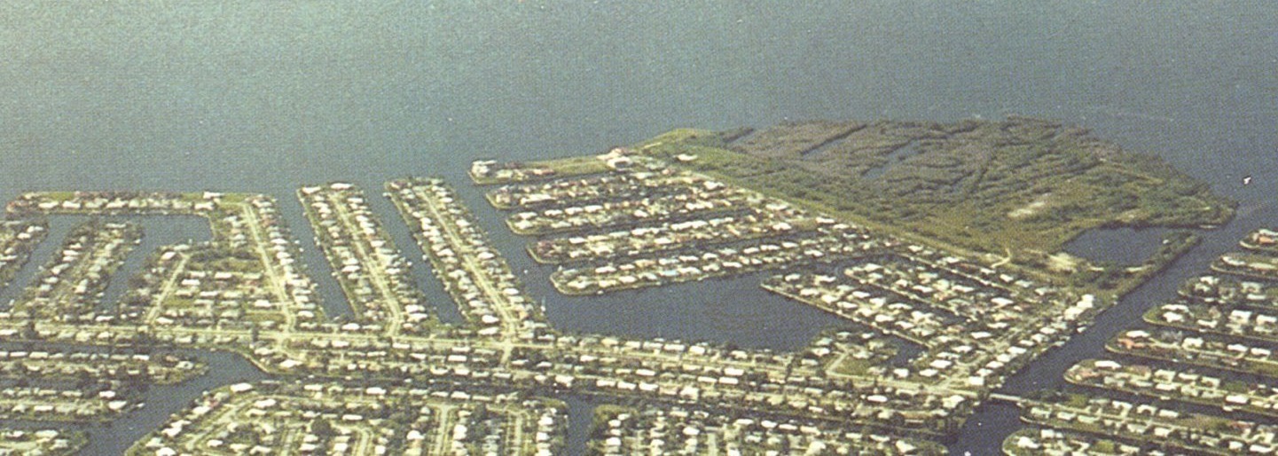
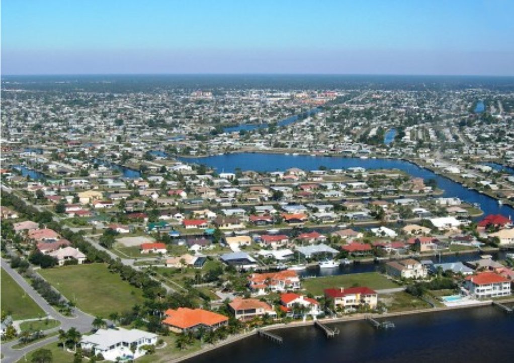
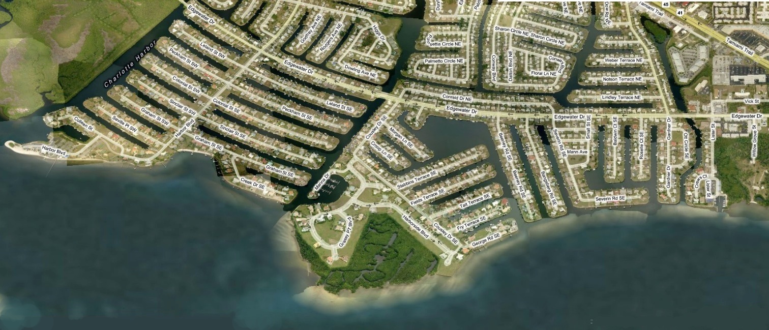
The "GRASSY POINT SAILING COMMUNITY" is made up of 8 streets/178 properties:Press HERE to view any house in our community. |
||||
|---|---|---|---|---|
| Street | Road-Signs | Cul-de-sac | Street Aerial View | |
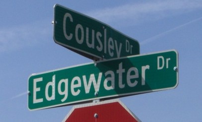
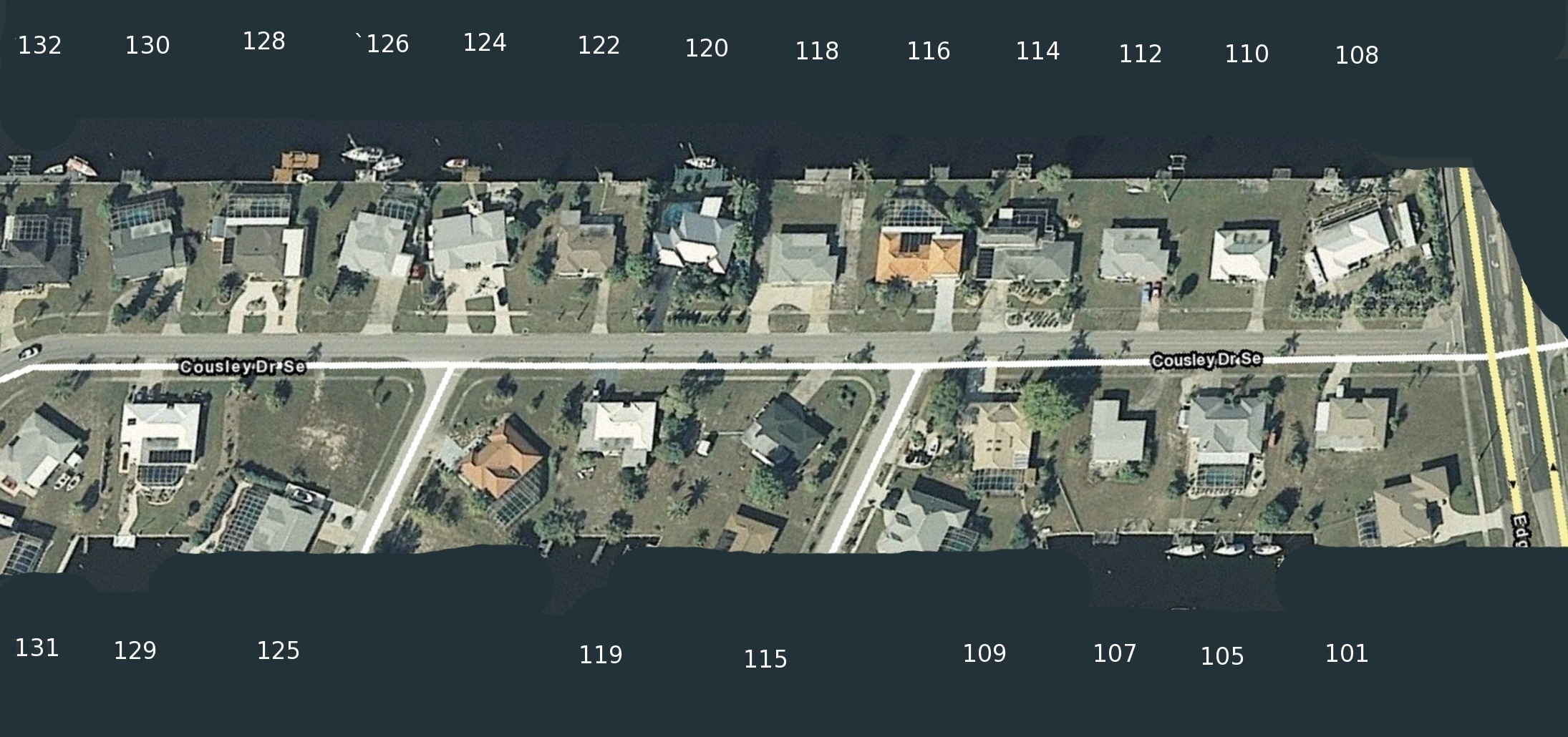
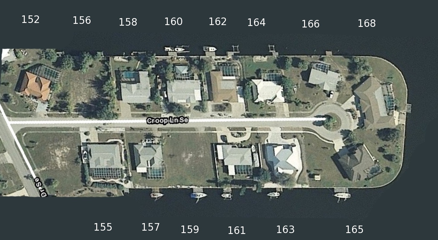
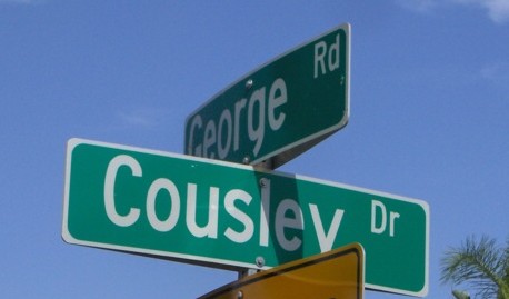
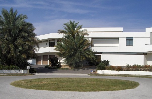
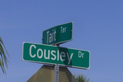
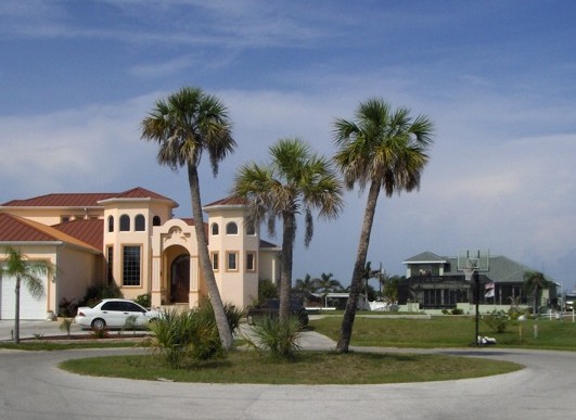
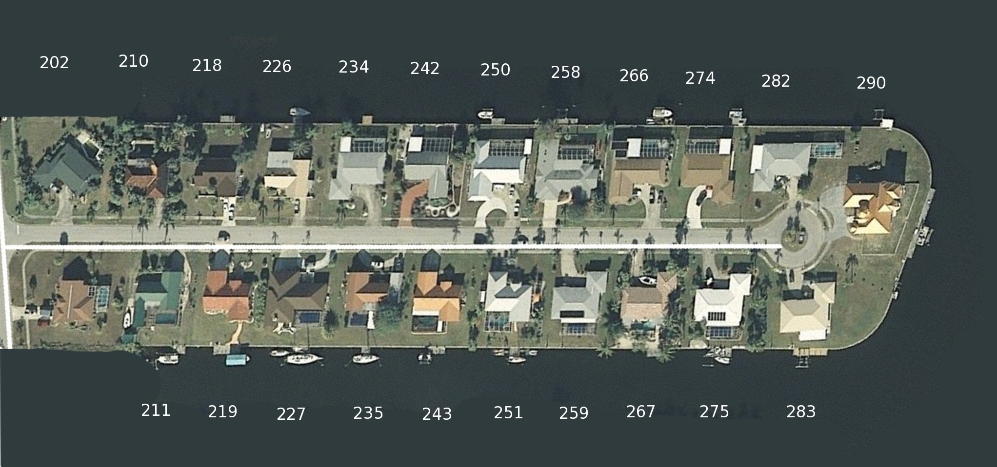
| COUSLEY (Edgewater to 132 Cousley) |
 |
 |
Cousley Resident List | |
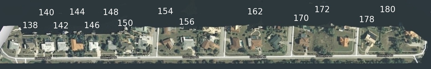
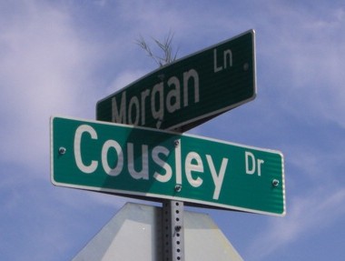
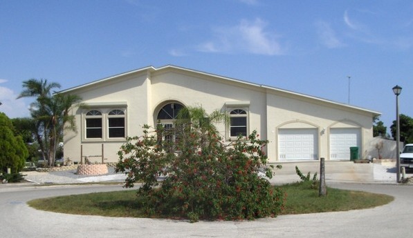
| COUSLEY (138 Cousley to George) |
|
 |
Cousley Resident List | |
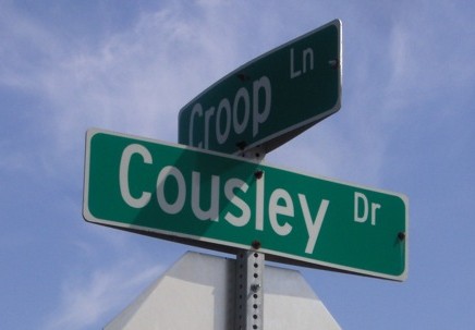
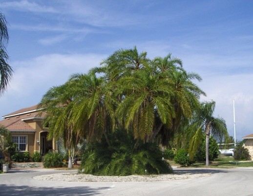
| CROOP |
 |
|
 |
Croop Resident List |
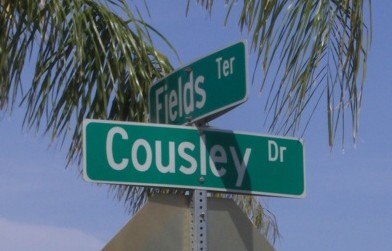
| FIELDS |
 |
 |
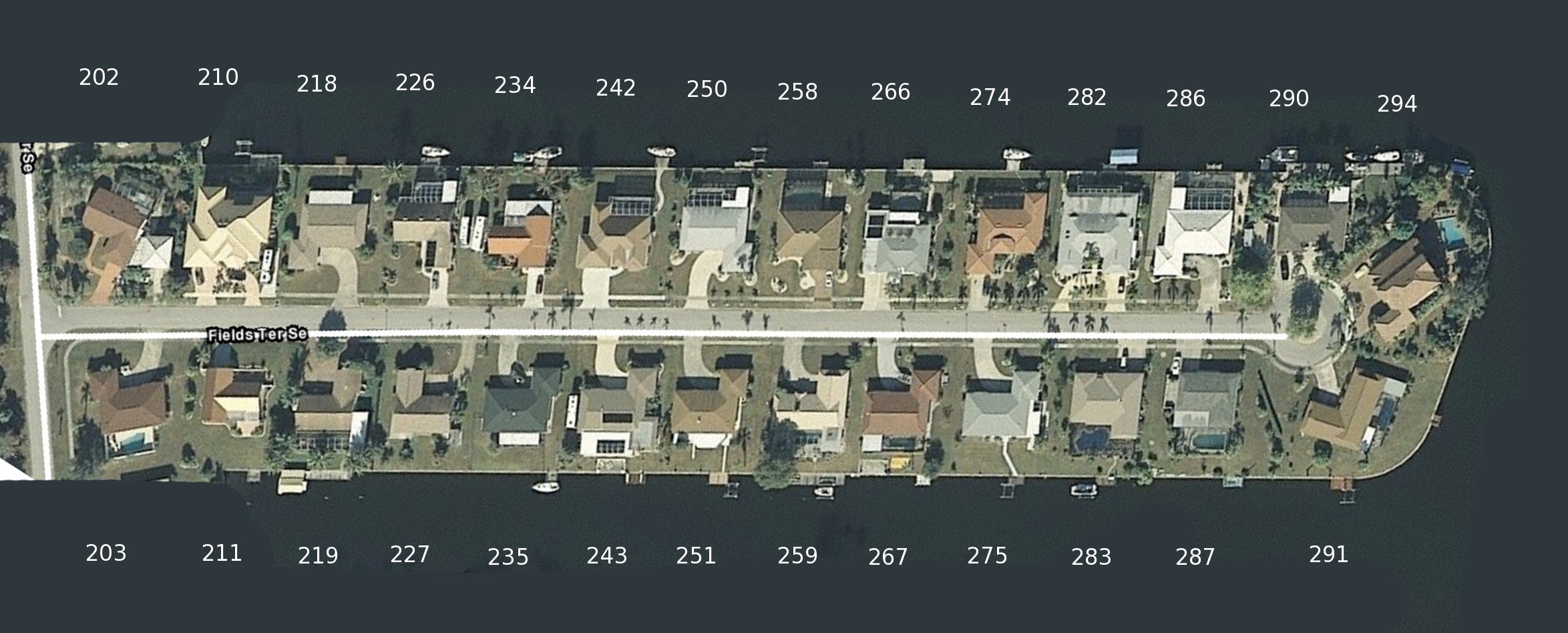 |
Fields Resident List |
| FRY |
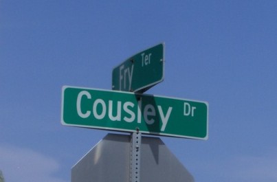 |
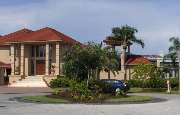 |
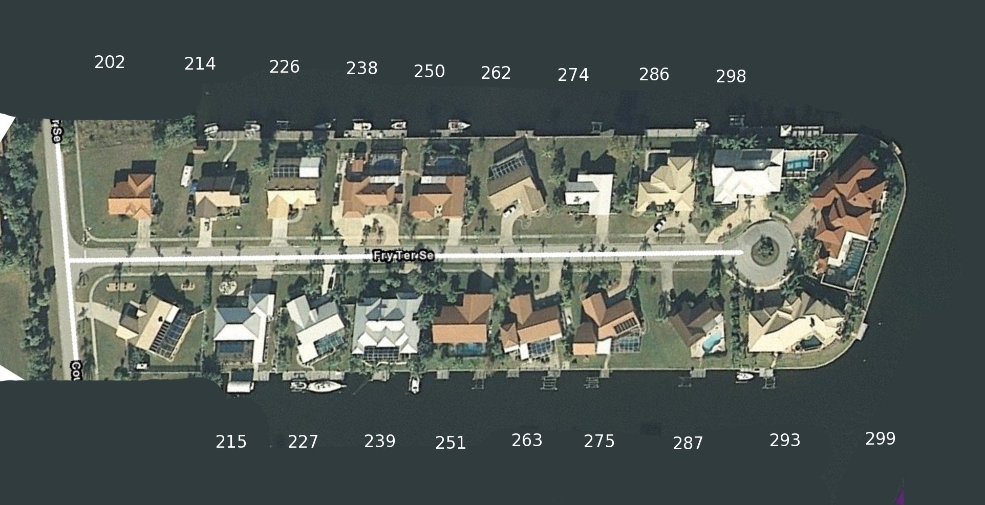 |
Fry Resident List |
| GEORGE |
 |
 |
 |
George Resident List |
| MORGAN |
 |
 |
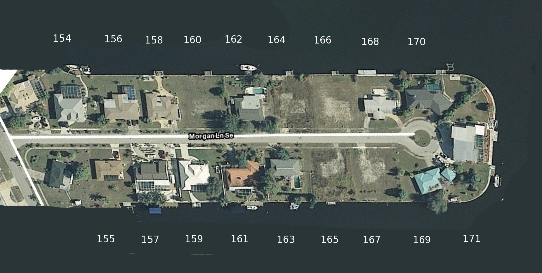 |
Morgan Resident List |
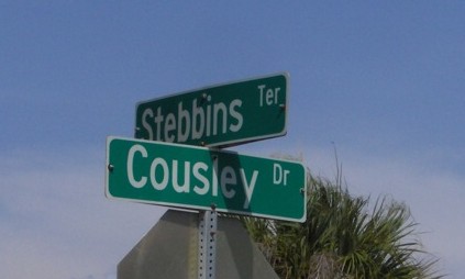
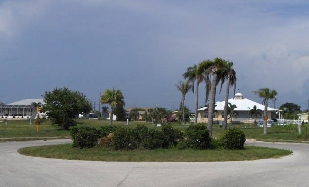
| STEBBINS |
 |
 |
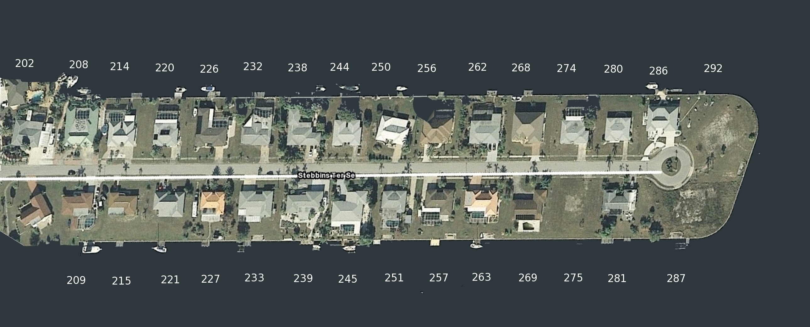 |
Stebbins Resident List |
| TAIT |
 |
 |
 |
Tait Resident List |

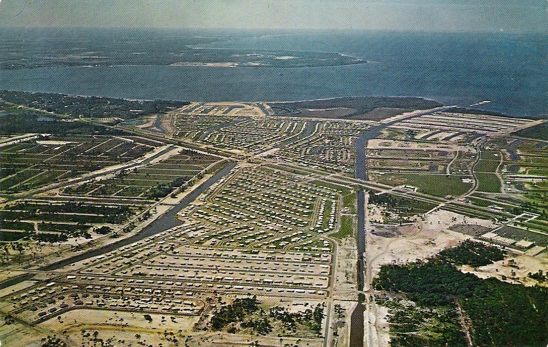
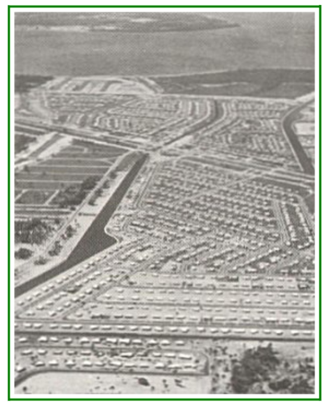
| Comments by Frank Elliott Mackle III |
|---|
| The wonderful thing about the Community Development business is that -
no matter what the course that companies may take ...profit ...loss ...success ...failure - what is created will last for a long, long time.
Even the largest building will fall someday - or be torn down. A community has a life of its own. It is a living breathing thing - made up of its people .... its families. It goes where they want to take it. But the Community Builder lays the foundation. The Mackle family has laid the foundation of fifteen Florida communities.... |
| Previous Page | < | - | - | - | - | - | Links | Local Weather | Satellite Weather | Tides | Charlotte Weekly | Charlotte Sun |